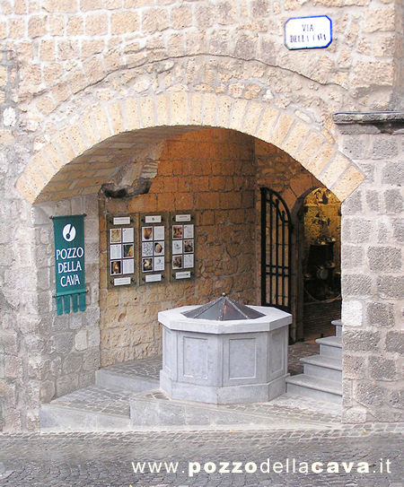
Aqueducts
Roman-Era Aqueduct Distribution Networks Below Neapolitan Streets
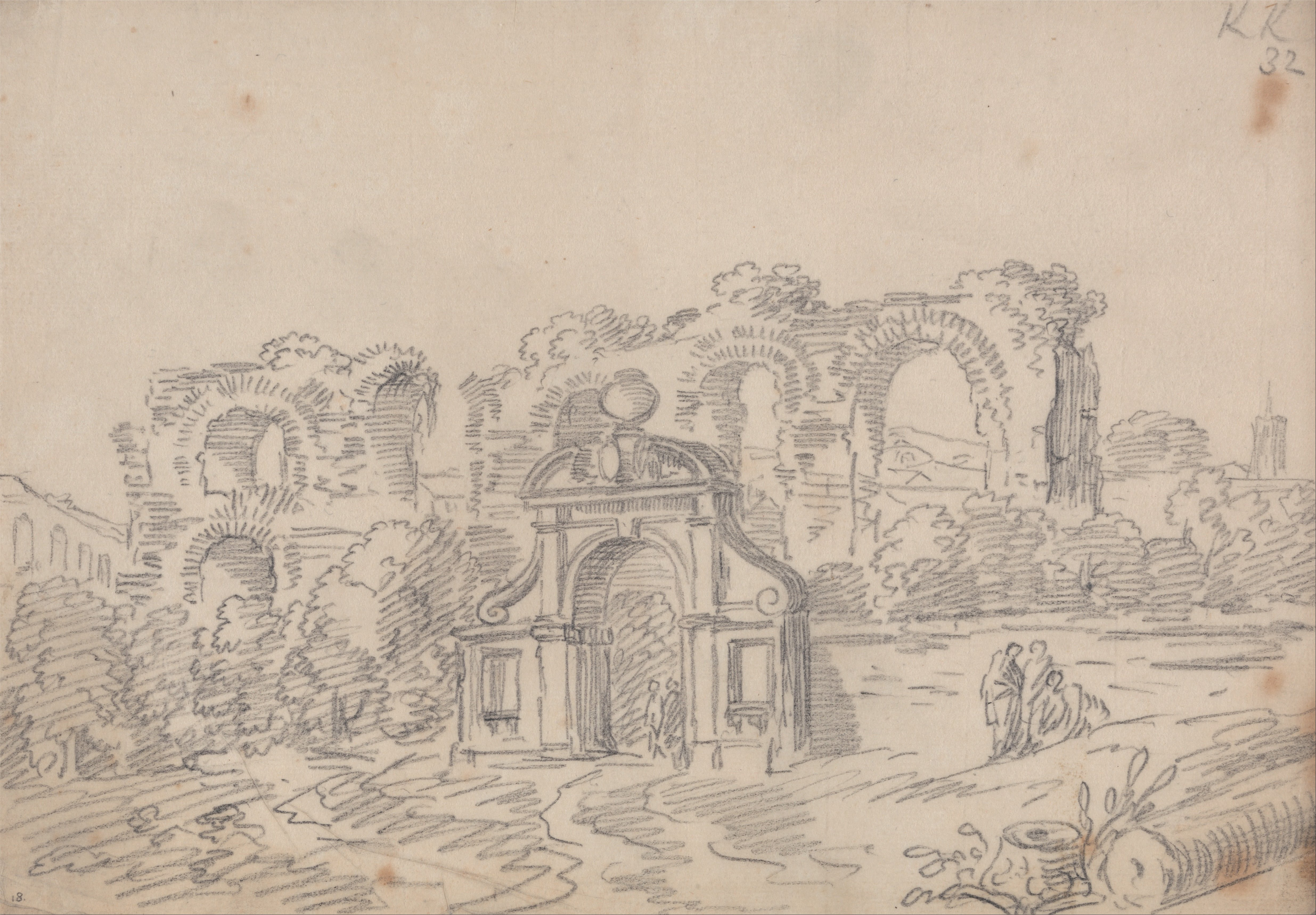
The Aqua Augusta, built between 33 and 12 B.C., supplied at least eight cities across the Bay of Naples via a 90-mile gravity-fed system sourced from springs at Serino.